


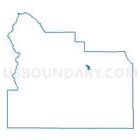
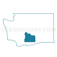
Slavin Voting District, Yakima County, Washington
About
Outline

Summary
| Unique Area Identifier | 690217 |
| Name | Slavin Voting District |
| County | Yakima County |
| State | Washington |
| Area (square miles) | 3.39 |
| Land Area (square miles) | 3.19 |
| Water Area (square miles) | 0.20 |
| % of Land Area | 94.04 |
| % of Water Area | 5.96 |
| Latitude of the Internal Point | 46.59172870 |
| Longtitude of the Internal Point | -120.45804430 |
Maps

Graphs
Select a template below for downloading or customizing gragh for Slavin Voting District, Yakima County, Washington


Neighbors
Neighoring Voting District (by Name) Neighboring Voting District on the Map
- Butterfield Voting District, Yakima County, WA
- Country Club Voting District, Yakima County, WA
- Fairview Voting District, Yakima County, WA
- Moxee Rural Voting District, Yakima County, WA
- Rest Haven Voting District, Yakima County, WA
- Terrace Heights Voting District, Yakima County, WA
- Yakima 101 Voting District, Yakima County, WA
- Yakima 104 Voting District, Yakima County, WA
- Yakima 120 Voting District, Yakima County, WA
- Yakima 126 Voting District, Yakima County, WA
Top 10 Neighboring County Subdivision (by Population) Neighboring County Subdivision on the Map
Top 10 Neighboring Place (by Population) Neighboring Place on the Map
Top 10 Neighboring Unified School District (by Population) Neighboring Unified School District on the Map
- Yakima School District, WA (77,427)
- East Valley School District (Yakima), WA (15,549)
- Union Gap School District, WA (3,408)
Top 10 Neighboring State Legislative District Lower Chamber (by Population) Neighboring State Legislative District Lower Chamber on the Map
- State House District 13, WA (143,750)
- State House District 15, WA (132,788)
- State House District 14, WA (130,478)
Top 10 Neighboring State Legislative District Upper Chamber (by Population) Neighboring State Legislative District Upper Chamber on the Map
- State Senate District 13, WA (143,750)
- State Senate District 15, WA (132,788)
- State Senate District 14, WA (130,478)
Top 10 Neighboring 111th Congressional District (by Population) Neighboring 111th Congressional District on the Map
Top 10 Neighboring Census Tract (by Population) Neighboring Census Tract on the Map
- Census Tract 16.02, Yakima County, WA (6,854)
- Census Tract 17.02, Yakima County, WA (6,023)
- Census Tract 16.01, Yakima County, WA (2,413)